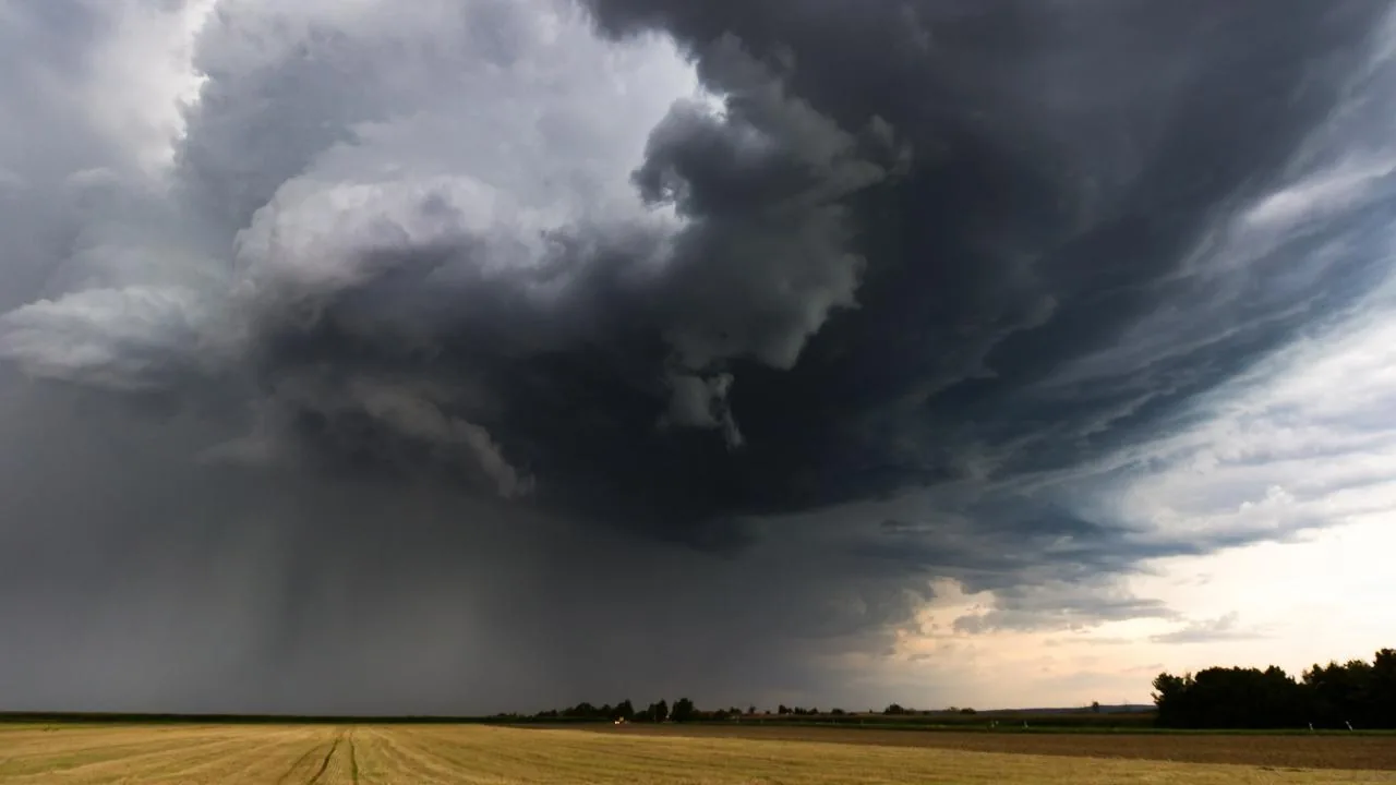









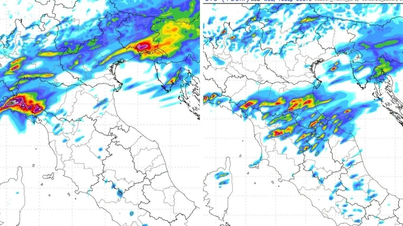
Arriving on the afternoon of Wednesday, September 16 is the new analysis from the Centro Meteo Toscana, released just hours before the deterioration expected for Thursday, September 17, a day when a strong thunderstorm alert will be issued for much of the region. The picture drawn by the forecasters confirms an unstable phase, fueled by an Atlantic disturbance that will brush central Europe but will also have significant effects on Tuscany.
Read more 2-year-old child falls from balcony in Arezzo: in serious condition at Meyer
The general context
The dynamic is typical of late summer Atlantic incursions: cooler air aloft, high humidity at ground level, and conditions favorable for the development of intense thunderstorms, especially in the inland areas. “Weather worsening again in the next few hours with the passage of an Atlantic disturbance mainly over central Europe that will trigger a deterioration also in our region followed by an improvement over the weekend,” reads the analysis.
️Turbulent morning
The first part of the day on Thursday, September 17 will therefore be marked by a localized but intense worsening, with lightning and showers that could quickly affect nearby areas as well. The rest of the region will experience a suspended morning, with humid heat and variable skies. “On the morning of Thursday, September 17, a thunderstorm awakening at the border with Liguria with possible strong thunderstorms between Spezzino and the province of Massa. Elsewhere, a waiting situation with a fairly muggy climate for the period. Not excluded – continues the analysis – partial involvement from thunderstorm phenomena also in the Carrara area and more sporadically in Versilia and the Apuan Alps.”
- Weather in Tuscany, a few hours and bad weather returns: thunderstorms incoming – The risk areas
High-risk afternoon
This is the most critical time slot of the entire day. The inland provinces, from Florence to Arezzo, from Siena to Pistoia, will be the most exposed: possible cloudbursts, wind gusts, and significant accumulations. In other areas, the disturbance should manifest more irregularly and less persistently. “In the afternoon of Thursday, September 17, intense thunderstorm development over the inland provinces with even strong thunderstorms especially between the provinces of Florence – Prato – Arezzo – Siena – Pistoia. Possible local accumulations in the areas most affected by thunderstorms – explains the Cmt – up to 50/60 millimeters. Elsewhere unstable with possible quick showers followed by wide clearings but generally without too persistent phenomena.”
Read more Carlo Azeglio Ciampi and Il Tirreno, a love story
Evening: improvement, but not everywhere
The front will tend to move away, but residual humidity could favor some further showers, especially in central areas, as highlighted by the Centro Meteo Toscana analysis. “In the evening it improves somewhat everywhere but with the risk of new showers in the provinces of Prato, Pistoia, and Florence due to a humid flow also from the west.”
Instability between the archipelago and the Livorno coast
The day of Friday, April 18 will open with new uncertainty, especially along the coast and on the islands. The phenomena could be very localized or remain offshore. “On the morning of Friday, September 18 – explains the Cmt – thunderstorm risk between the islands of the archipelago and Livorno area with possible showers. Very difficult to precisely locate these phenomena which could also remain confined at sea.” The analysis: “In the afternoon modest instability with possible very localized showers followed by wide clearings. Still quite muggy for the period.” The second part of the day will be calmer but not completely stable. The muggy heat, however, will continue to be felt.
More stable weekend and pleasant start to the week
After the unstable phase, Tuscany will head towards a clearer weekend, with a progressive drop in humidity and more pleasant conditions. The start of next week – the one beginning Monday, September 21 – will mark a return to a more balanced late-summer climate. “Weekend sunnier and mild with a more muggy climate on Saturday and more pleasant on Sunday thanks to drier mistral currents. Start of next week – concludes the Cmt – characterized by high pressure but with very pleasant temperatures (minimums almost everywhere between 15/16 degrees, locally even lower). And a climate no longer muggy as in the next two days.”
Read more Ciampi, the patriot and the Europeanist were the same person